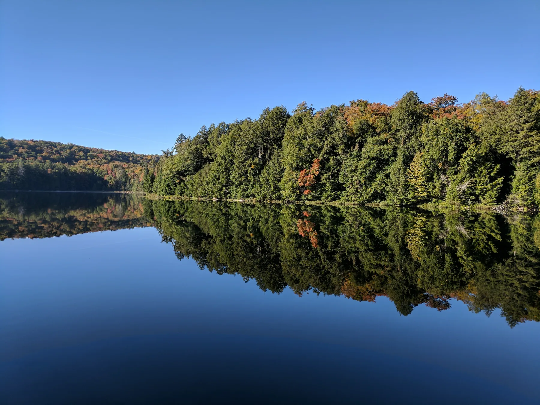
Most visitors know Algonquin Park from the Highway 60 corridor. The Barron Canyon Trail is on the other side of the park entirely, reached from the Ottawa Valley near Pembroke, on a gravel road that sees far less traffic. The payoff is a short walk to the rim of a canyon about 100 metres deep.
It is November, and this is the time of year when the east side starts closing down. Read the seasonal section below before you set out.
The trail at a glance
According to The Friends of Algonquin Park, the Barron Canyon Trail is a 1.5 km loop that leads along the north rim of the 100 m deep Barron Canyon and returns to the parking lot. Ontario Parks lists it at 1.5 km and about 45 minutes.
The two sources rate it differently: Ontario Parks calls it easy, while the Friends rate it moderate.
A trail guide for the Barron Canyon Trail is sold through the Friends of Algonquin Park online store.
Safety at the canyon rim
This is the part to take seriously. The Friends of Algonquin Park state that the trail visits "a very high, unfenced cliff top from which a fall would be fatal." Ontario Parks says the same in plainer terms: the trail travels by an unfenced cliff, so keep children close and pets on a leash at all times.
A few practical points:
- Stay well back from the edge, especially when rock is wet, icy or covered in leaves.
- Hold on to small children rather than relying on calling them back.
- Do not step past the edge for a photo.
The Friends also note that cell coverage on Algonquin's east side is limited or absent, so do not count on your phone if something goes wrong. In an emergency, Ontario Parks advises calling 911.
Getting there
The trail is reached from Highway 17, not Highway 60. The Friends of Algonquin Park give these directions to the Sand Lake Gate:
- Leave the Highway 17 bypass about 9 km west of Pembroke, 3.5 km west of Forest Lea Road.
- Turn south onto County Road 26 (Doran Road) and drive 300 metres.
- Turn right onto County Road 28 (Barron Canyon Road) and drive 26 km to the gate at the park boundary.
The road is paved at first, then gravel. The Friends place the gate about 40 km from Pembroke and about 145 km from the park's East Gate on Highway 60, which is a reminder that the two sides of the park are not a quick hop apart.
From the Sand Lake Gate, the trailhead is about 10 to 11 km farther along the Barron Canyon Road (Ontario Parks says 10 km, the Friends say 11). Ontario Parks puts the trail about 35 km in total from the junction of the Barron Canyon Road and the Trans-Canada Highway.
Permits: how they work
A valid park permit is required to use the trail. For Algonquin, the Friends of Algonquin Park explain that Daily Vehicle Permits are bought online or by phone, and are not sold in person. You can buy up to five days in advance, and when you buy you choose an entry point; "Achray/Sand Lake Gate" is one of the listed options. A permit covers one vehicle and its occupants and is valid from 7 a.m. to 10 p.m. on the date of issue.
We have not listed prices here. Check the current fee on the official Algonquin day-use page or with Ontario Parks before you go, and buy before you lose cell signal on the drive in.
Achray and Grand Lake
Just beyond the canyon, Achray Campground sits on Grand Lake. Ontario Parks lists two sandy beach areas, a boat launch, and a 10 hp limit for outboard motors on Grand Lake, which is also a starting point for several interior canoe routes. Ontario Parks notes that patient anglers on Grand Lake may catch lake trout.
Two other trails start near the campground: the Berm Lake Trail and the longer Eastern Pines Backpacking Trail.
Tom Thomson's Jack Pine
Achray has a direct link to Canadian art. Ontario Parks describes the Jack Pine Trail, a 1.6 km easy walk, as leading to the site where Tom Thomson's painting The Jack Pine was sketched. If the campground road is open, it pairs well with the canyon on the same day.
Seeing the canyon from the water
The Friends of Algonquin Park note that the canyon can also be reached by canoe from the Brigham Lake and Barron River parking lots. Paddling the canyon floor gives a very different view of the same cliffs, but it is a summer trip, not a November one.
What is open and closed right now
Here is what official sources say for this season:
- Camping at Achray: Ontario Parks lists camping and roofed accommodation for April 24 to October 25, 2026. That season has ended.
- Day use at Achray: Ontario Parks lists day use from April 24 to November 15, 2026. After mid-November, assume the east side is in winter mode.
- Sand Lake Gate office: The Friends describe it as open early May to late October. Since permits are bought online or by phone anyway, you do not need the office to visit, but do not expect staff there in winter.
- Achray Road: According to the Friends' winter information, the Achray Road is typically gated about one kilometre from the closed campground from late October to late April, so you walk, ski or snowshoe in.
- Barron Canyon Road in winter: The Friends state that it is not plowed by Ontario Parks. Plowing and sanding are done by the forest industry to meet its own needs, and not on weekends or holidays.
In short: early November is the tail end of the day-use season, conditions on the road and trail change quickly, and help is far away. Call the Algonquin Park information line at 705-633-5572 (weekdays, 9 a.m. to 4 p.m.) before you drive in.
How it differs from Highway 60
The Friends note that Highway 60 is open year-round and is plowed, salted and sanded by the Ministry of Transportation. Mew Lake Campground, on that corridor, is among the sites the Friends list as plowed; our guide to Algonquin Park in winter covers it. Places like Lake Opeongo and Canoe Lake are also on the Highway 60 side.
The east side is quieter, more remote and more seasonal. It suits a planned day trip from the Ottawa Valley in spring, summer or early fall. For an overview of the whole park, see Algonquin Provincial Park.
Whose land this is
Algonquin Park lies within the Algonquins of Ontario land claim area, which the Government of Canada describes as covering most of eastern Ontario, about 36,000 square kilometres. The Algonquins of Ontario, Canada and Ontario are negotiating that claim, and the Government of Canada states that Algonquin Park will continue to be part of the Ontario parks system. For more on the Nations and treaties of this region, read our guide to Indigenous Central Ontario.